


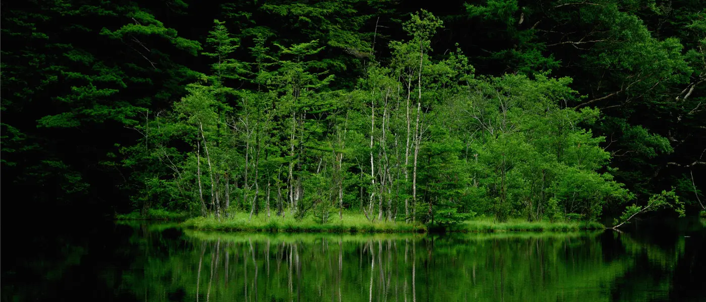
Yakedake, autumn of 2013. (photo: Joseph Mecha)
Last week, we announced that the portion of this guide dealing with popular routes had been dropped due to excessive length. Owing to the positive reception to Part II, however, we've since decided to extend the guide to four parts (later expanded to five), making "Popular Routes" a segment unto itself. And so...
Part III: Popular Routes
As with Parts I and II of this guide, the topic we'll be tackling here is a big one. Rather than attempting the impossible task of covering the whole of the Northern Japan Alps and the myriad hikes they offer, we've chosen instead to focus on a few extra special routes.
In compiling this piece, I have made extensive use of Tom Fay and Wes Lang's outstanding new book, "Hiking and Trekking in the Japan Alps and Mount Fuji." I hope to provide a detailed introduction to this volume in the near future.
Overview:
The routes covered here are:
- Yakedake
- The North Alps Traverse
- The Yari/Hotaka Circuit
- The Omote Ginza
- Shiroumadake
These routes were chosen because they represent a range of distances and difficulty levels while also covering different areas of Northern Alps geography. I've also left out a couple of my favorites, Tsurugidake and the Hachimine Kiretto, because of safety issues and logistical difficulties (mostly the latter).
Sir Not Appearing in this Article: the ridge line between Karamatsudake and Goryudake serves as an exciting prelude to the Hachimine Kiretto. (photo: Joseph Mecha)
Before beginning, I should also mention the following caveats:
- Many of the routes here require multi-day excursions which may be broken up into smaller hikes if time is a factor.
- In all cases, a July to mid-October time frame is assumed.
- These are only rough introductions. Please consult a full guide before embarking (duh).

Yakedake, autumn 2013.
Yakedake
As the most active volcano in the Northern Japan Alps, Yakedake cuts an imposing figure. You can often make out the plume of smoke billowing from near the summit even from a distance and an old proverb tells of how being able to smell that sulfurous smoke from Kappa Bridge is a harbinger of rain.
That said, the mountain ranks near the bottom of the difficulty table on the Nagano Prefecture Comprehensive Mountaineering Center's official guide, putting it within the reach of a fit novice hiker. And at 6-7 hours, the entire round trip to the summit and back is doable as a day-hike.
Most people will find it easier to embark from the trailhead in central Kamikochi and do a loop hike to the summit and back. If you have a car, you can also park near the Nakanoyu trailhead and embark from there. Advisory: Yakedake is being monitored closely for volcanic activity and is cordoned off in areas due to harmful gases spewing from the crater. Please respect all cautions and restrictions posted near the summit.
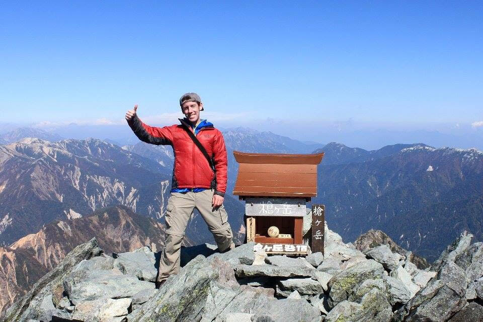
Atop Yarigatake. (photo: Joe Mecha)
The North Alps Traverse (Murodo --> Kamikochi)
The ne plus ultra of Japan treks takes you from Murodo, the main central hub of the Tateyama Kurobe Alpen Route, across a long segment of the Tateyama Range and all the way to Kamikochi. Along the way, you can check numerous hyakumeizan off your list as you take in brilliant panoramas from high mountain ridges. At 5-7 days in length, this trek requires careful preparation and no small amount of stamina, but your reward will be an unforgettable experience and bragging rights in your back pocket for the rest of your days.
Breakdown:
Day One: Murodo to Goshikigahara, six to seven hours. Includes Tateyama*.
Day Two: Goshikigahara to Yakushidake Sanso, eight to 10 hours. Includes Yakushidake*.
Day Three: Yakushidake Sanso to Kurobegoro Goya, six to eight hours. Includes Kurobegorodake*.
Day Four: Kurobegoro Goya to Mt. Yarigatake, eight to 10 hours. Includes Yarigatake*.
Days Five and Six: Mt. Yarigatake to the Hotakadake* Sanso to Kamikochi, 11 to 15 hours, OR a shorter return to Kamikochi, which omits the Hotaka Range segment of the journey, 7hrs.
(* indicates hyakumeizan, or "100 Famous Mountains," peak)
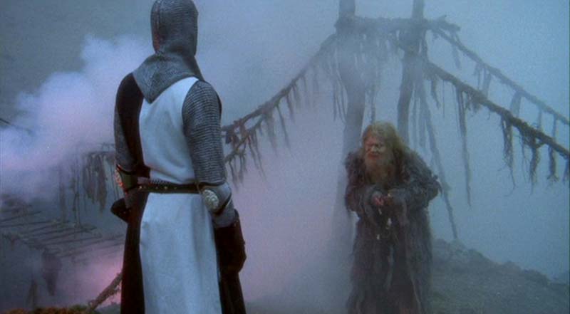
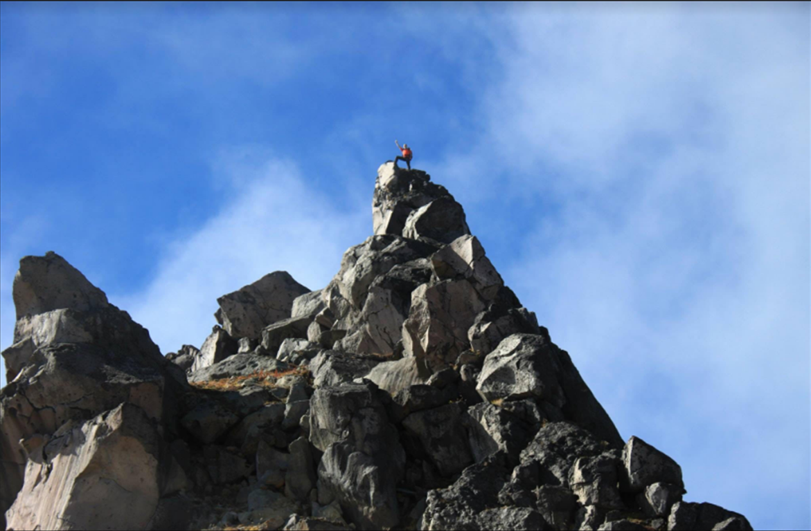
Those who seek the Grail must face the Bridge of Death (source: https://montypython.fandom.com/wiki/Bridge_of_Death )
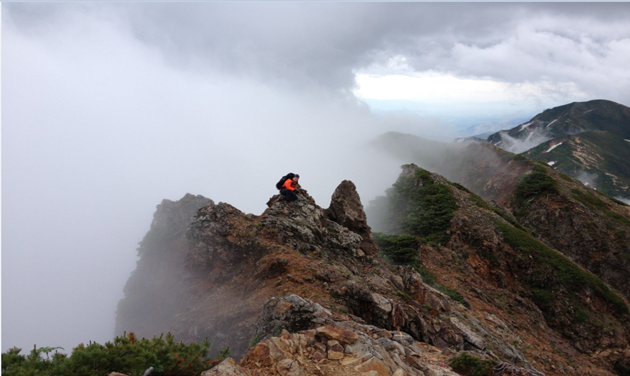
The Yari/Hotaka Circuit:
At about half the length of the North Alps Traverse, this thrilling journey takes the essence of the Northern Alps and distills it into a breathless foray across the "Roof of Japan." With the dreaded Daikiretto an essential part of the journey, it's not for the faint of heart, but a good shout for the title of "if you only do one hike in Japan..."
Day one of the trek takes you from your starting point in Kamikochi all the way to the top of Yarigatake (8hrs) where you can spend the night at Yarigatake Sansou Hut beneath the peak. Day two charts a perilous course from Yari to the Hotaka peaks via the Daikiretto knife point ridge. Between the Hotaka side of the ridge and Okuhotakadake are two mountain huts: the Kitahodaka Goya, famed as the highest altitude hut in Japan, and the Hotakadake Sansou, right beneath the Okuhotaka peak.
The amount of sheer toil involved in this trek means that you can easily extend it by a day, adding an extra night of lodging to help recoup your strength. Because of the number of variations involved, we recommend researching multiple first hand accounts and devising an itinerary that works for you. This is just one of many such accounts.

The Omote Ginza
Those who are working their way up to the Yari/Hotaka Circuit by stages should consider this trek which can either begin or end in Kamikochi. Despite being shorter than the Tateyama Traverse and less daunting than Yari/Hotaka, the Omote Ginza Route passes over some fascinating terrain and boasts panoramic views of Yarigatake and other iconic peaks. The traditional starting point is The Nakabusa Onsen trailhead where a pleasant mountain trail will take you to the top of Tsubakurodake. From there you have two choices: either follow the official "Omote Ginza" route to Yarigatake and down to Kamikochi or follow a gentler route across the Jonendake and Chogatake before descending into Kamikochi.
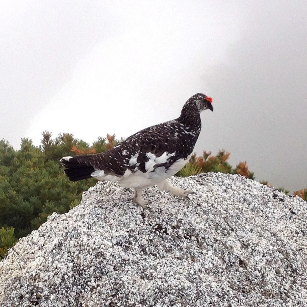
And now for something completely different...a raichou atop Tsubakurodake.
If you're just breaking into mountain walking and in search of a day trip (or a more relaxed excursion with a night spent at a lodge, a Tsubakurodake hike from Nakabusa Onsen is highly recommended. The same can be said for Chogatake, just outside Kamikochi. Details on famed the Omote Ginza trek can be found here, along with variations, suitable for less advanced hikers
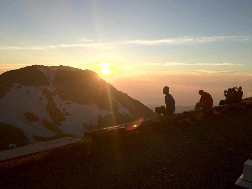
Catching rays: the sunset from Hakuba Sansou's outlook is a sight to behold.
Shiroumadake
This trek in the Hakuba area is notable for the long glacier walk near the start. A sturdy pair of crampons will see you through a technically lower level journey to the top. But that's not to say it's the safest choice in the Northern Alps. As Japan hiking stalwart Gary J. Wolff points out, tumbling rocks around the glacier pose a very real danger--especially on days when fog reduces visibility. This in itself is not a reason to give Shirouma a miss, but it's definitely something to keep in mind.
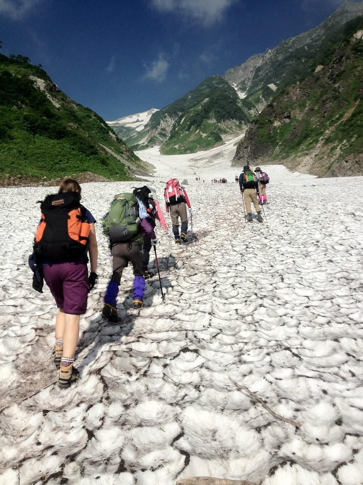
The technically manageable, but potentially hazardous first leg of the Shirouma trek. August of 2012.
From the Sarukura trailhead, give yourself 6-7 hours to reach the peak. There are two mountain huts near the summit with the Hakuba Sansou being the nearer of the two. I remember my trip primarily for the brilliant sunset I watched from a outlook near the lodge as well as for a Brocken Specter I saw from a ridge line, while returning from the summit. If you're not in too much of a hurry, consider extending your trip by a day to hit the Yari Onsen on your way back to Sarukura.
Sources of Info and Further Reading:
Hiking and Trekking The Japan Alps and Mount Fuji, by Tom Fay and Wes Lang--a comprehensive new guide from UK publisher Cicerone, ISBN 978-1-85284-974-4: https://www.cicerone.co.uk/hiking-and-trekking-in-the-japan-alps-and-mount-fuji
Gary J. Wolff's site about hiking in Japan: https://www.garyjwolff.com/mt-shirouma-dake.html
The entry on the Tateyama Range from the JNTO official site: https://www.japan.travel/en/spot/2188/
A firsthand account of the Kamikochi/Yari/Hotaka Circuit from Japan Guide: https://www.japan-guide.com/blog/peaks/171005.html
A primer for hiking in the Japan Alps: https://www.japantimes.co.jp/life/2019/04/19/travel/top-day-multiday-hikes-japan-alps/
The Azumi Tourist Association's excellent guide to the Omote Ginza and surrounds: https://www.azumino-e-tabi.net/hike/courses/courses_b.html
The Nagano Prefecture Comprehensive Mountaineering Center official guide to mountain route difficulty levels: https://www.pref.nagano.lg.jp/kankoki/sangyo/kanko/documents/english2018.pdf
